About the Vale of White Horse
Lying between the Ridgeway and the River Thames, the Vale of White Horse – whose name comes from the oldest chalk figure in Britain dating back to around 1000 BC – stretches from the edge of Oxford to the edge of the Cotswolds.
The district has three historic market towns – Abingdon, Faringdon and Wantage – and also covers Botley, located on the edge of Oxford, as well as the large village of Grove, near Wantage. There are many picturesque villages set in the beautiful Vale countryside.
Only 60 miles from London and with good access links to the Midlands and the Southwest via the M4, A34 and M40, the Vale is home to many cutting-edge businesses and has a thriving economy with a highly skilled workforce.
The Vale is also a popular place to visit, with plenty to see and do. For more information about the many attractions of the district, please see our Visit the Vale website.
Statistics about Vale of White Horse
An estimated 142,116 people live in the Vale of White Horse (Office for National Statistics: Mid-Year Population Estimates UK, June 2022).
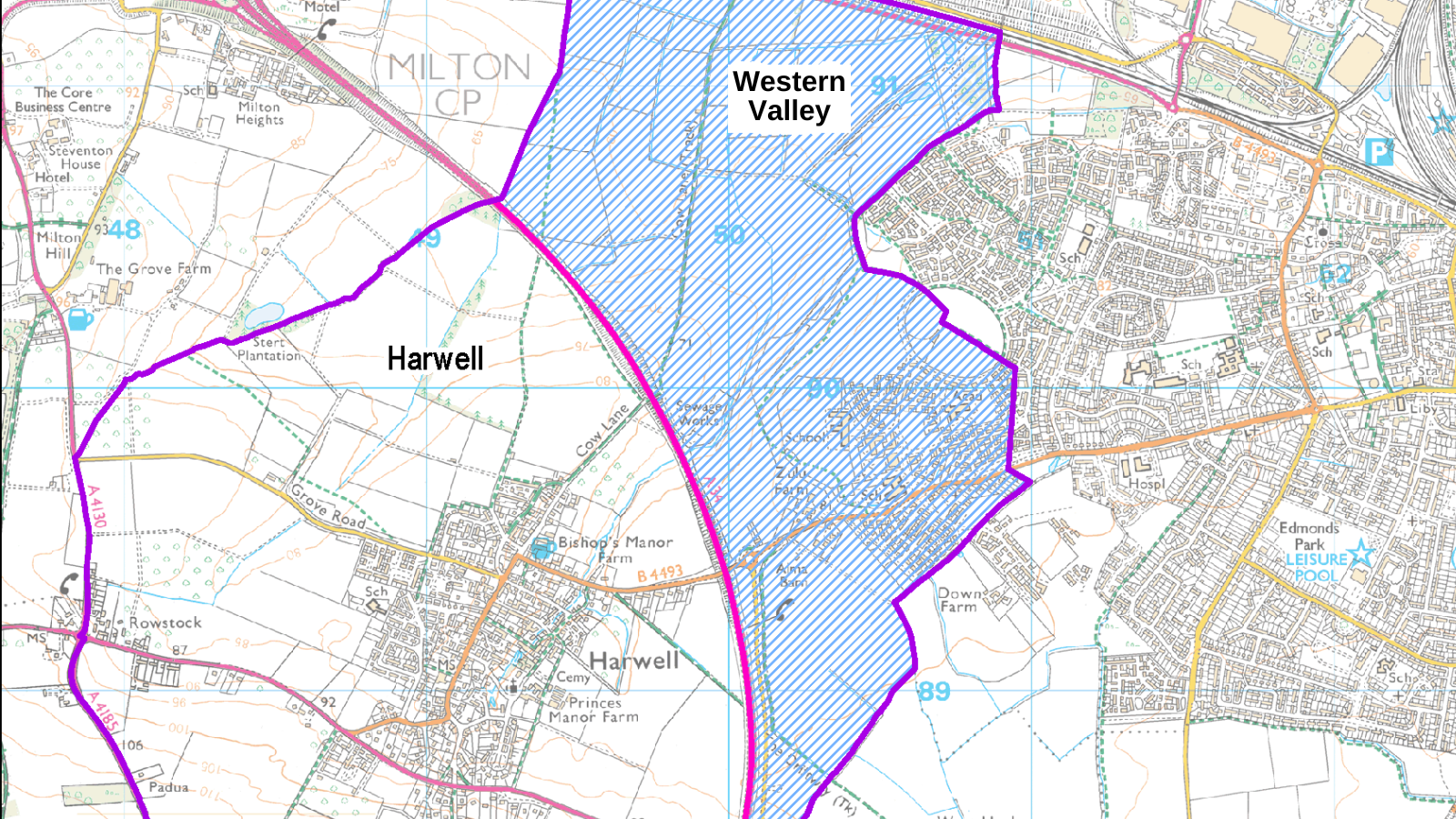
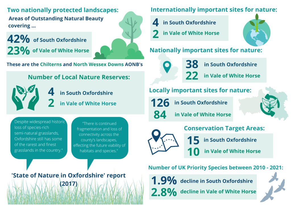
See below a summary of protected landscapes, nature reserves, important sites for nature and conservation target areas for both Vale of the White Horse and South Oxfordshire.
Oxfordshire Insight and the Joint Strategic Needs Assessment (JSNA)
Oxfordshire Insight is managed by Oxfordshire County Council and provides access to data on Oxfordshire and its districts, including interactive dashboards and maps.
The Joint Strategic Needs Assessment (JSNA) contains information about the people in Oxfordshire, which helps us understand their health and well being needs. The JSNA brings together statistics and data from a number of sources to create a shared evidence base. It is intended to support service planning, decision making and delivery. The executive summary focuses on the headline facts uncovered by the most recent analysis of the data.
The Co-op Community Wellbeing Index
The Community Wellbeing Index was developed by the Co-op to provide insight into the wellbeing of neighbourhoods across the UK. It is designed to help provide users with a snapshot of the strengths of, and challenges facing local communities.
Interactive Maps
We have a range of interactive maps and postcode/area searches available on this website to help you find information about Vale of White Horse.
My Vale of White Horse Local Search
Use the Vale of White Horse Local Search to find information about council services in the area, such as rubbish and recycling collection days and council tax rates. You can also find out about local democracy in your area, including who your councillors are and how to contact them. Search by postcode.
Finding local information by map
- Find local amenities map – On this map you can search for car parks, recycling banks, public toilets, and waste recycling sites (rubbish tips).
Planning maps
- Planning application and decision map – Search for planning applications and decisions by location.
- Conservation and listed buildings map – find out if you live in a conservation area or if a property has listed building status.